Published on January 31, 2017
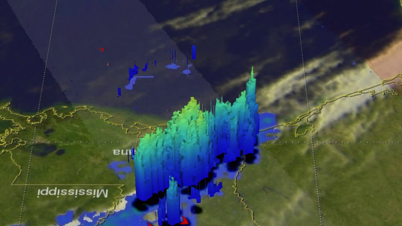
The GPM core observatory satellite viewed a western portion of a line of violent weather when it flew over on Tuesday, Nov. 29 at 11:16 p.m. EST. The areas covered by GPM’s Microwave Imager (GMI) and Dual-Frequency Precipitation Radar (DPR) instruments are shown in lighter shades. Red symbols show the approximate locations where tornadoes were reported. Credit: NASA/JAXA, Hal Pierce
