Why are scientists out flying over Greenland, drilling into its ice, and monitoring it from space? The answer is that they see it as a bellwether of future Earth.
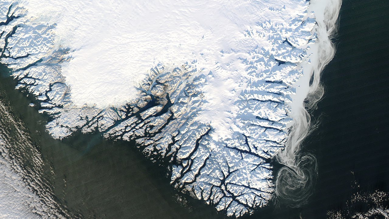
Scientists are sampling, drilling, and flying over this great island because they believe it may be a bellwether of future Earth. Greenland is two million square kilometers of land… 81% of which is covered by a giant central ice cap, the Inland Ice. Here is 2.8 million cubic kilometers of ice… layered and packed over the millennia. Its thickest points lie beneath two massive ridges… the northern at 3 kilometers thick, the southern at over 3.2 kilometers.
The Inland Ice basin is framed by parallel mountain ranges. Its bedrock basement floor is down near sea level… depressed by the weight of the ice above it. If this ice sheet were to melt, the land beneath would be underwater, dotted with small islands. Over time, with the weight lifted, it would gradually rise. Today, the sheer mass of the Inland Ice exerts a gravitational pull on surrounding oceans. This pull raises sea levels all around the island.
In the event of extreme melting, a recent study showed that sea levels would actually drop out to a distance of about 1000 kilometers. More distance shores, however, would experience an average global sea level rise of over 7 meters.
