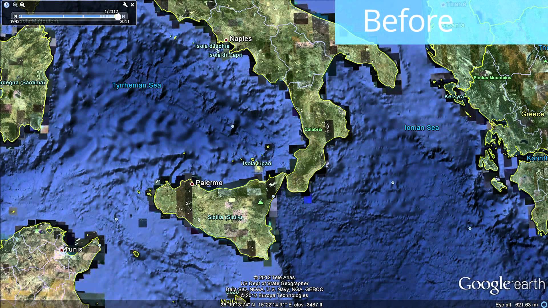
Explore a new updated global seafloor with data curated by the Scripps Institution of Oceanography at the University of California at San Diego, in partnership with NOAA, the US Navy, NGA, and GEBCO (with major contributions from JAMSTEC, IFREMER and IBCAO). The global shaded relief derived from this data is the basis of the ocean as seen in both Google Earth and Google Maps. This update covers ocean topography from all over the globe and reveals our most accurate view of the seafloor to date. The global topography combines echosoundings made during surveys by ships with other satellite data to fill the gaps between ship surveys. The new detail comes from including newly acquired and processed shipboard sounding data. With this update to ocean terrain data in Google Earth, 15 percent of the seafloor is now available at 1 km resolution. In order to make this update possible, David Sandwell at the Scripps Institution of Oceanography at UCSD in partnership with Walter Smith at NOAA have curated 30 years of data from more than 8,000 ship cruises and 135 different institutions. The details of this bathymetry prediction process are described in two publications: and This particular data set includes 290 million depth soundings; the details are included in the following publication:
Share
Global Seafloor Update in Google Earth04:33
Published on January 30, 2017

