Please Like, Share & Subscribe Thank You
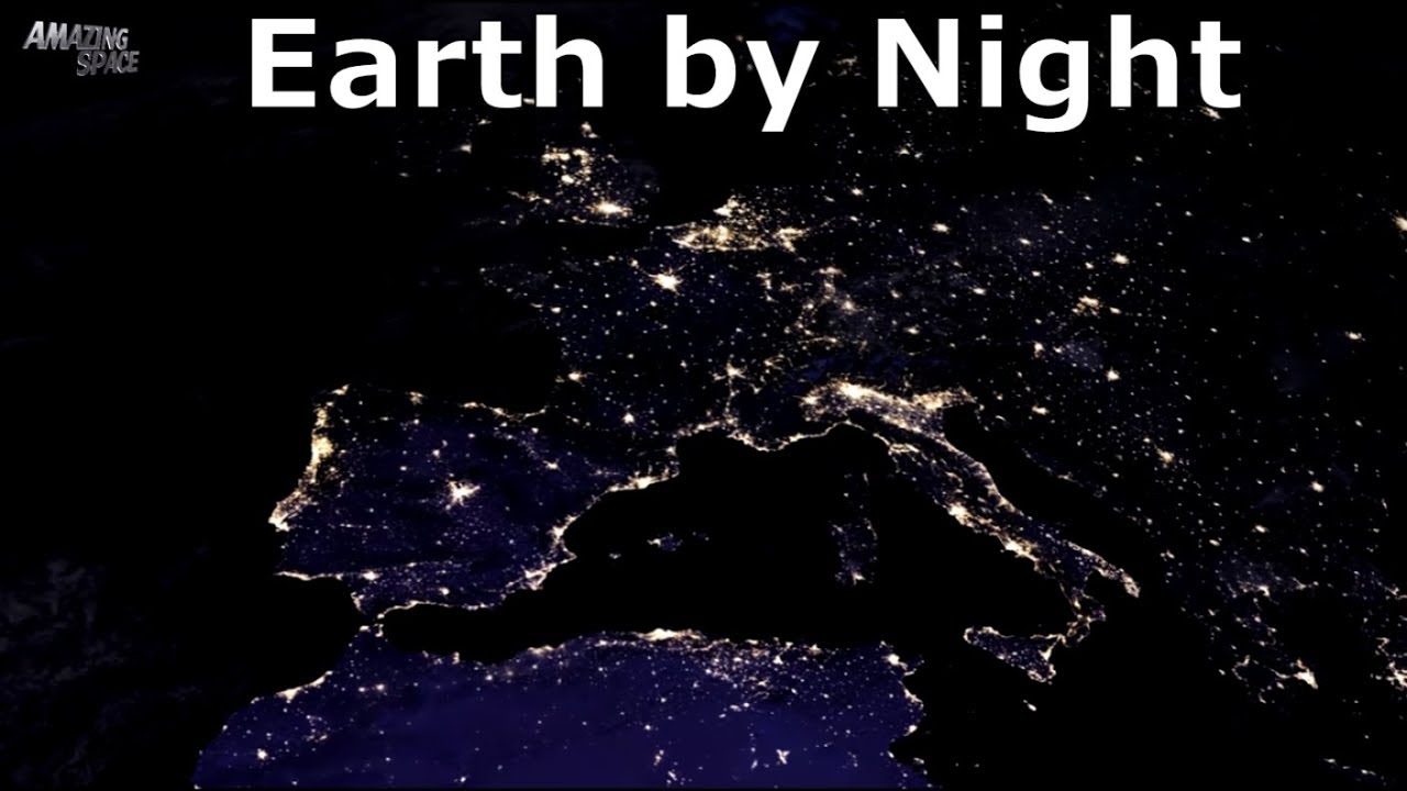
NASA scientists have released new global maps of Earth at night, providing the clearest-yet views of the patterns of human settlements across our planet.
Satellite images of Earth at night—often referred to as “night lights”—have been a curiosity for the public and a tool of fundamental research for at least 25 years. They have provided a broad, beautiful picture, showing how humans have shaped the planet and lit up the darkness. Produced every decade or so, such maps have spawned hundreds of pop-culture uses and dozens of economic, social science, and environmental research projects.
The images on this page show Earth’s night lights as observed in 2016; they are drawn from a new global composite map (below) that was just added to Worldview and GIBS. The compositing technique selected the best cloud-free nights in each month over each land mass. (Note that clouds and sunlight are added to some images on this page for aesthetic effect; those data are drawn from our Blue Marble products.) The team has also reprocessed 2012 data with the new techniques so that researchers can compare and contrast light sources over the years. By late 2017, Román and colleagues hope to provide daily high-definition views of Earth at night.
Subscribe For More Videos Like This:
See my latest videos :
Bringing you the BEST Space and Astronomy videos online. Showcasing videos and images from the likes of NASA,ESA,Hubble etc.
Join me on :
:
Google+ :
Music by Keving Macleod
Cryptic Sorrow – Atlantean Twilight Kevin MacLeod

