More at
“EXPLAINS THE THEORY OF MAPMAKING, AND ILLUSTRATES THE METHODS AND TECHNIQUES USED TO PRODUCE MAPS; PLANNING, SURVEYING, COMPILING, AND REPRODUCTION.”
US Army training film TF5-4523
NEW VERSION with improved video & sound:
Reupload of a previously uploaded film, in one piece instead of multiple parts.
Public domain film from the National Archives, slightly cropped to remove uneven edges, with the aspect ratio corrected, and mild video noise reduction applied.
The soundtrack was also processed with volume normalization, noise reduction, clipping reduction, and equalization (the resulting sound, though far from perfect, is far less noisy than the original).
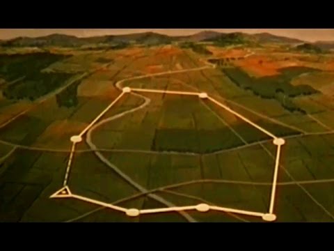
Cartography (from Greek Χάρτης, chartis = map and graphein = write) is the study and practice of making maps. Combining science, aesthetics, and technique, cartography builds on the premise that reality can be modeled in ways that communicate spatial information effectively…
In cartography, technology has continually changed in order to meet the demands of new generations of mapmakers and map users. The first maps were manually constructed with brushes and parchment; therefore, varied in quality and were limited in distribution. The advent of magnetic devices, such as the compass and much later, magnetic storage devices, allowed for the creation of far more accurate maps and the ability to store and manipulate them digitally.
Advances in mechanical devices such as the printing press, quadrant and vernier, allowed for the mass production of maps and the ability to make accurate reproductions from more accurate data. Optical technology, such as the telescope, sextant and other devices that use telescopes, allowed for accurate surveying of land and the ability of mapmakers and navigators to find their latitude by measuring angles to the North Star at night or the sun at noon.
Advances in photochemical technology, such as the lithographic and photochemical processes, have allowed for the creation of maps that have fine details, do not distort in shape and resist moisture and wear. This also eliminated the need for engraving, which further shortened the time it takes to make and reproduce maps.
Advances in electronic technology in the 20th century ushered in another revolution in cartography. Ready availability of computers and peripherals such as monitors, plotters, printers, scanners (remote and document) and analytic stereo plotters, along with computer programs for visualization, image processing, spatial analysis, and database management, have democratized and greatly expanded the making of maps. The ability to superimpose spatially located variables onto existing maps created new uses for maps and new industries to explore and exploit these potentials. See also: digital raster graphic.
These days most commercial-quality maps are made using software that falls into one of three main types: CAD, GIS and specialized illustration software. Spatial information can be stored in a database, from which it can be extracted on demand. These tools lead to increasingly dynamic, interactive maps that can be manipulated digitally.
With the field rugged computers, GPS and laser rangefinders, it is possible to perform mapping directly in the terrain. Construction of a map in real time, for example by using Field-Map technology, improves productivity and quality of the result.
