more at
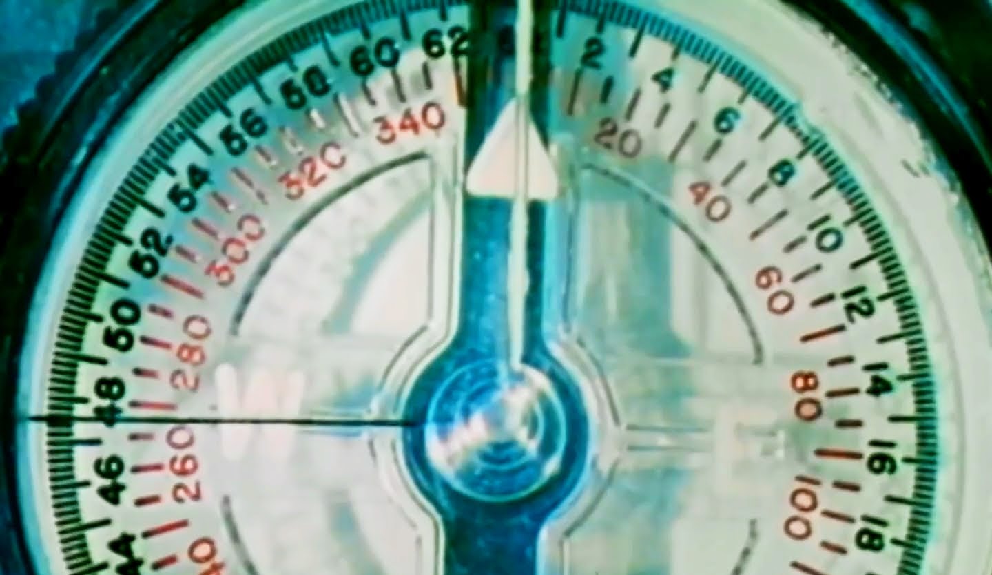
“Features and use of lensatic compass in map orientation, in finding direction and location, and in land navigation, by day and night.”
US Army training film TF5-3721 Basic Map Reading Part IV
Reupload of a previously uploaded film with improved video & sound.
Public domain film from the US National Archives, slightly cropped to remove uneven edges, with the aspect ratio corrected, and one-pass brightness-contrast-color correction & mild video noise reduction applied.
The soundtrack was also processed with volume normalization, noise reduction, clipping reduction, and/or equalization (the resulting sound, though not perfect, is far less noisy than the original).
US Army Field Manual FM 3-25.26
MAP READING AND LAND NAVIGATION (2001)
The map of choice for land navigators is the 1:50,000-scale military topographic map…
Geographic coordinates are expressed in angular measurement. Each circle is divided into 360 degrees, each degree into 60 minutes, and each minute into 60 seconds. The degree is symbolized by ° , the minute by ′, and the second by ″. Starting with 0° at the equator, the parallels of latitude are numbered to 90° both north and south. The extremities are the north pole at 90° north latitude and the south pole at 90° south latitude. Latitude can have the same numerical value north or south of the equator, so the direction N or S must always be given.
Starting with 0° at the prime meridian, longitude is measured both east and west around the world. Lines east of the prime meridian are numbered to 180° and identified as east longitude; lines west of the prime meridian are numbered to 180° and identified as west longitude. The direction E or W must always be given. The line directly opposite the prime meridian, 180° , may be referred to as either east or west longitude. The values of geographic coordinates, being in units of angular measure, will mean more if they are compared with units of measure with which we are more familiar. At any point on the earth, the ground distance covered by one degree of latitude is about 111 kilometers (69 miles); one second is equal to about 30 meters (100 feet). The ground distance covered by one degree of longitude at the equator is also about 111 kilometers, but decreases as one moves north or south, until it becomes zero at the poles. For example, one second of longitude represents about 30 meters (100 feet) at the equator; but at the latitude of Washington, DC, one second of longitude is about 24 meters (78 feet).
Geographic coordinates appear on all standard military maps; on some they may be the only method of locating and referencing a specific point. The four lines that enclose the body of the map (neatlines) are latitude and longitude lines. Their values are given in degrees and minutes at each of the four corners. On a portion of the Columbus map (Figure 4-4), the figures 32° 15′ and 84° 45′ appear at the lower right corner. The bottom line of this map is latitude 32° 15’00″N, and the line running up the right side is longitude 84° 45’00″W. In addition to the latitude and longitude given for the four corners, there are, at regularly spaced intervals along the sides of the map, small tick marks extending into the body of the map. Each of these tick marks is identified by its latitude or longitude value. Near the top of the right side of the map is a tick mark and the number 20′. The full value for this tick marks is 32° 20’00” of latitude. At one-third and two-thirds of the distance across the map from the 20′ tick mark will be found a cross tick mark (grid squares 0379 and 9679) and at the far side another 20′ tick mark. By connecting the tick marks and crosses with straight lines, a 32° 20’00” line of latitude can be added to the map. This procedure is also used to locate the 32° 25’00” line of latitude. For lines of longitude, the same procedure is followed using the tick marks along the top and bottom edges of the map.
After the parallels and meridians have been drawn, the geographic interval (angular distance between two adjacent lines) must be determined. Examination of the values given at the tick marks gives the interval. For most maps of scale 1:25,000, the interval is 2’30”. For the Columbus map and most maps of scale 1:50,000, it is 5’00”. The geographic coordinates of a point are found by dividing the sides of the geographic square in which the point is located into the required number of equal parts. If the geographic interval is 5’00” and the location of a point is required to the nearest second, each side of the geographic square must be divided into 300 equal parts (5’00” = 300″), each of which would have a value of one second. Any scale or ruler that has 300 equal divisions and is as long as or longer than the spacing between the lines may be used.
