Published on March 29, 2017
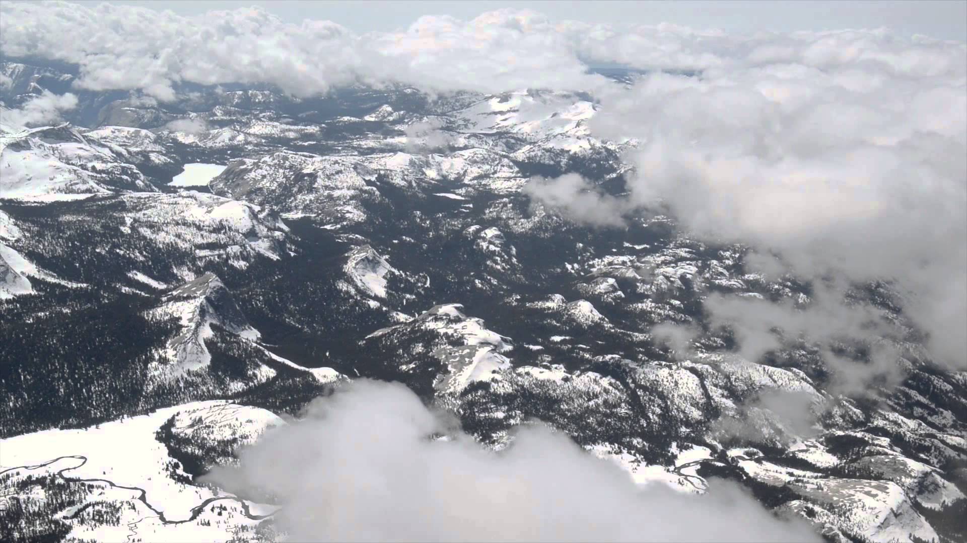
Maps from NASA’s Airborne Snow Observatory recently gave water resource managers in California precise information about snowpack and water availability that they have always wanted but never had before.
The snowpack maps enabled them to achieve near-perfect water operations during the driest year in California history.
