How NASA is Tracking Dust Storms from Space Using a New Hi-Tech Device
The Mediterranean, Canary Islands, West Africa, and Sudan all refer to the same phenomenon with different names: dust storms. In the Mediterranean, this is referred to as “Sirocco,” in the Canary Islands as “La Calima,” in West Africa as “Harmattan,” and in Sudan as “Haboob.”

Fine dust particles created by sand and dust storms can be blown for thousands of miles, causing a wide-reaching effect on human health and livelihoods. This is a global issue that is not limited to any one region.
At the UN’s COP15, it was announced that there had been a notable rise in dust storms, primarily attributed to climate change, desertification, and droughts.
Natalie Mahowald, a climate scientist from Cornell University in the US, is researching dust storms to plan for the future. She has been following the movements of dust around the world for the past two decades and is now collaborating with NASA on a project known as EMIT.
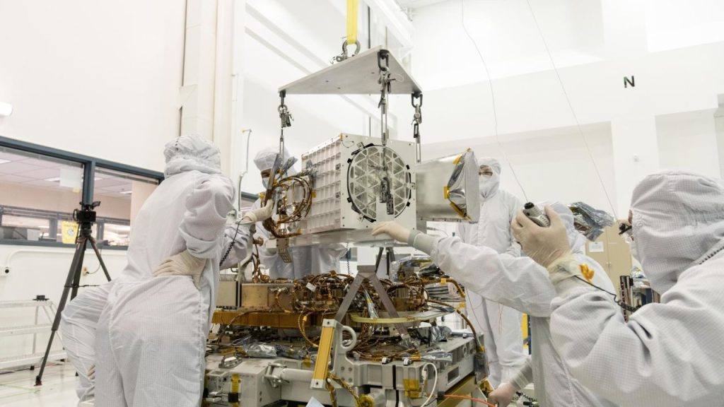
The imaging spectrometer, a first of its kind in space exploration, is aiding the mapping of dust colors. Mahowald explains that the data collected can be used to analyze how minerals affect the climate in climate models. Each dust type has its reflectivity when it comes to light, with white dust reflecting solar radiation and red or dark dust absorbing it.
Mahowald states that the Earth Surface Mineral Dust Source Investigation (EMIT) will revolutionize the possibilities for research. He adds that the data collected will be used to improve understanding of desert dust’s impact.
Mapping the minerals
A map of minerals is presented here that displays the location of noteworthy deposits. It is an invaluable tool for those interested in the geological diversity of a given area.
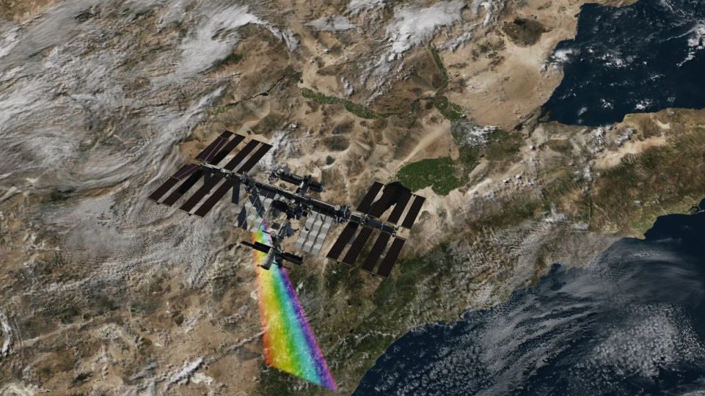
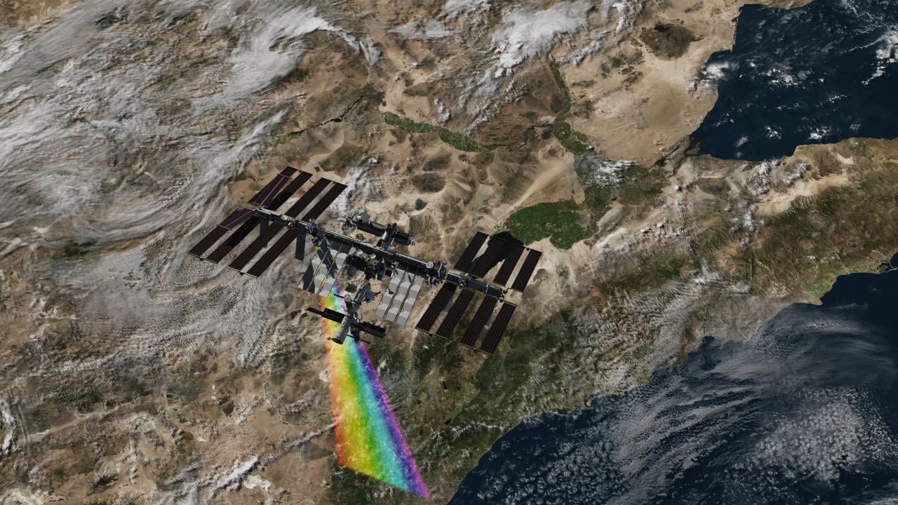
In July 2022, the EMIT instrument was sent to the International Space Station and circled the Earth 16 times daily. It produces a map of the mineral composition of the Earth’s surface by collecting information on spectra, which are the various light wavelengths that emanate from different hues.
This technology permits researchers to assess the mineralogical and chemical makeup of substances on the surface. The gadget can scan 50-mile-wide strips in a matter of seconds, providing scientists with billions of data points to be used in climate model forecasts – far surpassing the existing data set derived from only 5,000 sampling sites, according to Mahowald.
Detailed soil information from agricultural land has been necessary for agricultural and commercial interests. EMIT has added to this data by providing information about the world’s driest areas. This new information has allowed researchers to understand better the role dust plays in climate, which, until recently, had been neglected.
A vicious cycle of destructive patterns
The United Nations estimates that approximately 2 billion tons of dust and sand are thrown into the air annually.
Dust storms are essential for the Earth, taking rich soils around the world and assisting in the growth of vegetation – for instance, Sahara Desert dust helps nourish the flora in the Amazon rainforest, where the ground is deficient in crucial nutrients.
Diana Francis, a climate scientist from Khalifa University in Abu Dhabi, points out that ecosystems need dust aerosols to thrive.
The UN has issued a report which indicates that more frequent and intense dust storms could increase global warming. The alterations in storm patterns can modify the distribution of the Earth’s minerals and reduce the amount of rainfall. Additionally, dust aerosols can act as greenhouse gases in the atmosphere by trapping solar radiation.
A potential outcome of this phenomenon is a feedback cycle where climate change contributes to an increase in dust storms due to land degradation and drought, which worsens climate change. According to Francis, this is already occurring, as evidenced by “Godzilla,” the most significant dust storm of the past two decades that extended from the Caribbean to Texas in June 2020.
The Middle East and North Africa region is thought to suffer an annual economic loss of $13 billion due to dust storms, which can have a range of detrimental effects, such as causing respiratory illnesses, damaging livestock and crops, and disrupting transportation.
Francis states that storms in the Sahara Desert have become more frequent and intense. In the past, her studies revealed that atmospheric alterations had dispersed dust from the Sahara to the Arctic.
Francis states that the Arctic ice has been darkening significantly in the last two decades, which leads to a feedback loop. He explains that dark glaze will reflect less of the sun’s light, consequently melting more quicker.
Not just any old speck of dust
It’s much more than that – dust can be found in various forms and places, and its impact can be significant. From a microscopic level, it can be composed of multiple elements, and in more significant concentrations, it can potentially affect entire ecosystems. Beyond the physical realm, it can also profoundly affect our cultural and economic systems.
EMIT has furnished 5,000 data sets, each holding more than 1.4 million spectra. Scientists employed by NASA are using the data to assist in charting dust and soil composition worldwide.
NASA’s new Earth-space mission, EMIT, is being employed to chart out an additional element impacting climate change: methane.
Methane, making up only a tiny portion of greenhouse gas emissions, has been estimated to be 80 times more potent for warming the atmosphere for the first 20 years after its release.

NASA has discovered that methane emits a distinct pattern of infrared light, referred to as a “spectral fingerprint”, which the EMIT imaging spectrometer can detect precisely. Robert Green, a senior research scientist at NASA’s Jet Propulsion Laboratory and the head of the EMIT mission, has stated that the imaging technology is working “better than expected” in locating greenhouse gas emissions.
EMIT has located 50 “super-emitters” globally, originating from fossil fuels, agricultural activities, and waste-handling locations such as the United States, Iran, and Turkmenistan.
NASA hopes countries will be motivated to significantly lower their methane emissions, as it is a quick way to decelerate climate change. Carbon dioxide remains in the atmosphere for extended periods, while methane is gone within a decade. This highlights that reducing methane is a quick approach to counteracting climate change.
Green has reported that EMIT’s mission has been extended from the initial 12-month plan.
Mahowald is enthusiastic about the future,
“The EMIT project is a great example of what can be done,” she expresses. “We will be able to increase the number of data points we have from 5000 to an immense amount, with far greater precision. This will be incredibly beneficial to us.”


