Watchful Eyes: The Role of Geostationary Weather Satellites
Published on April 22, 2017
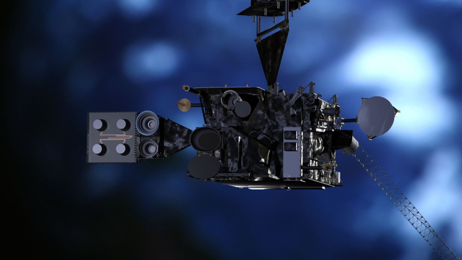
“Sunday, Sept. 9, 1900, revealed one of the most horrible sights that ever a civilized people looked upon,” reported Isaac Cline, chief of the U.S. Weather Bureau office in Galveston, Texas, the day after the worst hurricane in U.S. history roared ashore. “Watchful Eyes” chronicles the advent of NOAA’s Geostationary Operational Environmental Satellite (GOES) system and its value to forecasters, emergency management officials, and the public. GOES-R, NOAA’s newest geostationary satellite represents the critical continuity of observation forecasters need to protect the communities they serve from severe weather.
