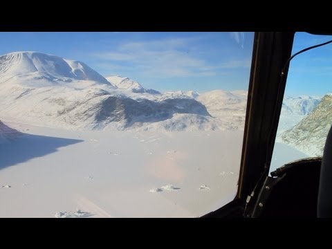
Determining whether polar ice quantities are growing or shrinking requires accurate and detailed measurements, year over year. To help make those measurements, IceBridge mission aircraft fire 3,000 pulses of laser light every second at the frozen landscape below. Scientists time how long it takes for the reflected pulses to make it back to the aircraft. That helps the team measure the ice’s thickness determine if ice quantities are growing or shrinking.
IceBridge, a six-year NASA mission, is the largest airborne survey of Earth’s polar ice ever flown. It will yield an unprecedented three-dimensional view of Arctic and Antarctic ice sheets, ice shelves and sea ice. These flights will provide a yearly, multi-instrument look at the behavior of the rapidly changing features of Earth’s polar ice.
Data collected during IceBridge will help scientists bridge the gap in polar observations between NASA’s Ice, Cloud and Land Elevation Satellite (ICESat) — launched in 2003 — and ICESat-2, planned for early 2016. ICESat stopped collecting science data in 2009, making IceBridge critical for ensuring a continuous series of observations.
Visit NASA’s IceBridge website:
